See maps
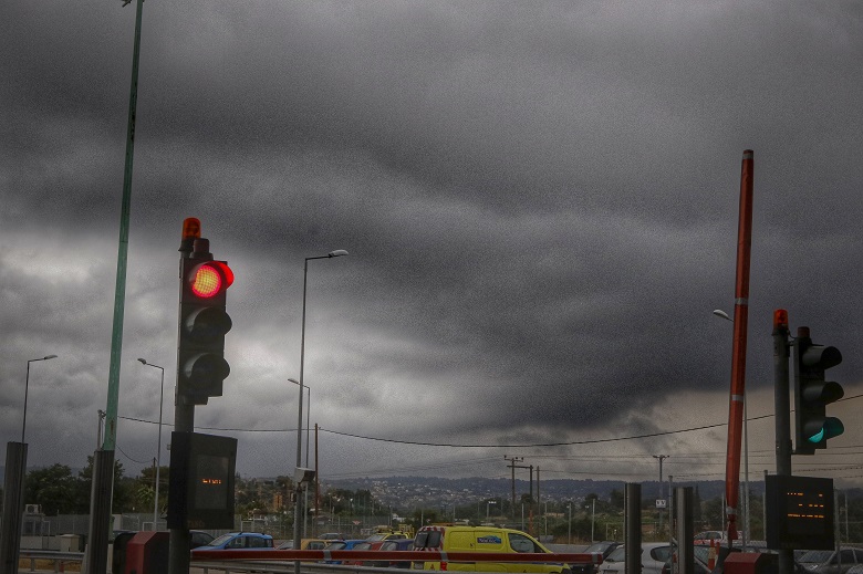
It breaks down weather tomorrow, as a deep barometric low from NW Europe, moving southeast, will cause new wave of bad weather from Monday evening November 27th to Wednesday, November 29th. Main features: showers and locally strong thunderstorms mainly on Tuesday, November 28, but also gusty winds.
According to the forecast data available from meteo.gr/National Observatory of Athens, for Monday 27/11 few clouds are predicted, gradually increasing in the west and south, with local rains after the afternoon in the Western Peloponnese, the Western Continent, the Ionian and the Continent. Gradually and overnight and into the early hours of Tuesday, 11/28, the effects will intensify and extend further east.
During Tuesday, 28/11, rains and local storms will occur in the greater part of the country. Rains and storms in places will be heavy and expected significant amounts of rain mainly in Western Mainland, Western and Southern Peloponnese, Epirus, the Ionian Islands and Thrace.
On Wednesday 29/11 the phenomena will gradually be limited to the Eastern Aegean, where rains and locally strong storms are expected until noon, while local rains are expected in South and West Peloponnese, West Sterea, Epirus, Cyclades and in the early morning hours in East Sterea and South Evia.
The map below shows the estimated cumulative amount of rain from Monday 27/11 to Wednesday 29/11/2023.
According to the categorization of the rainfall episode (Regional Precipitation Index), which is applied by the Meteo unit of the National Observatory of Athens, the rainfall episode for Tuesday 28/11, where the most intense phenomena are expected, is classified in Category 4 (Very Important) .
At the same time, on Tuesday 28/11 a significant strengthening of the south-southwest winds with intensities of up to 8 Beaufort is expected in the Aegean. A gradual weakening of the winds is expected from the early hours of Wednesday 29/11/2023.
The map below shows the maximum intensity and direction of the winds for Tuesday 28/11.


